
- Michaela Aden, ABR,MRP,PSA,REALTOR ®,e-PRO
- Premier Realty Group
- Mobile: 210.859.3251
- Mobile: 210.859.3251
- Mobile: 210.859.3251
- michaela3251@gmail.com
Quick Search
Featured Listing
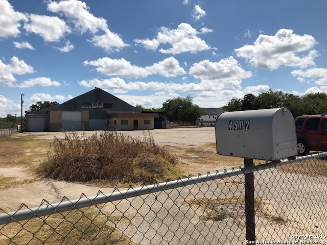
4902 Roosevelt Ave
Featured Listing
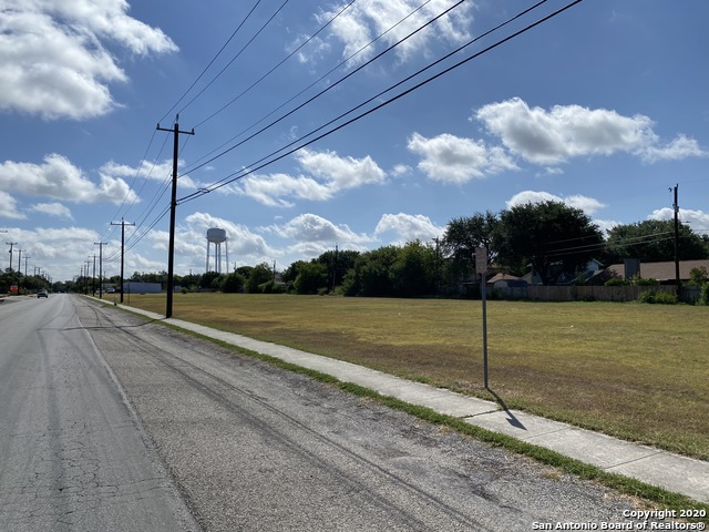
5380 Old Seguin Rd
Featured Listing
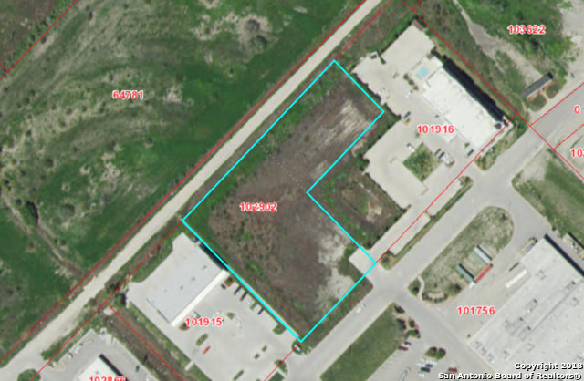
2.449 Ac Business Park Blvd
Featured Listing
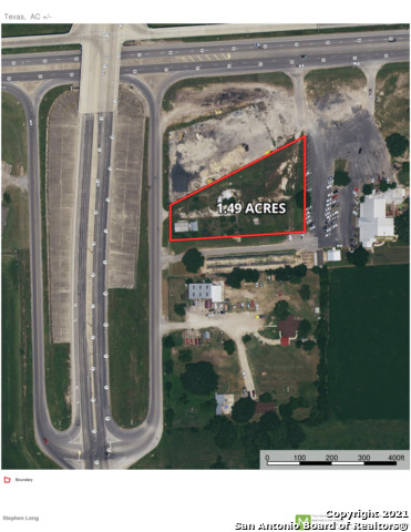
0000 Highway 173
Featured Listing
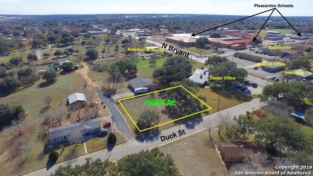
621 Duck N
Featured Listing
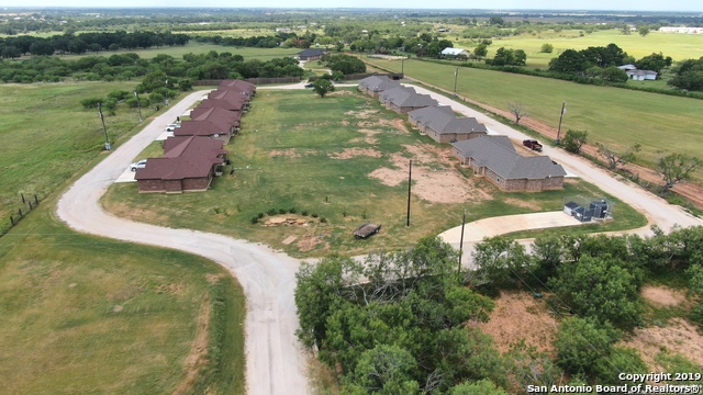
16020 Us Highway 87
Featured Listing
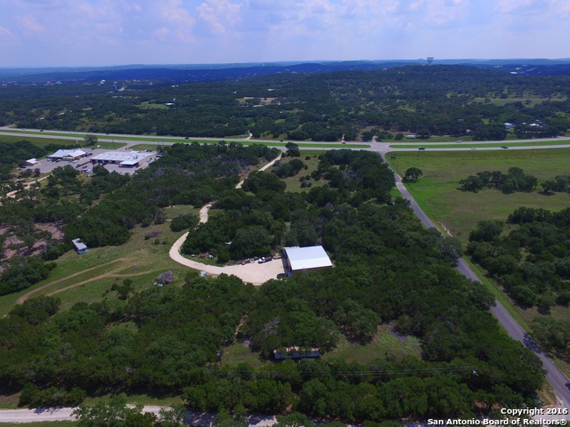
5335 Us Highway 281
Featured Listing
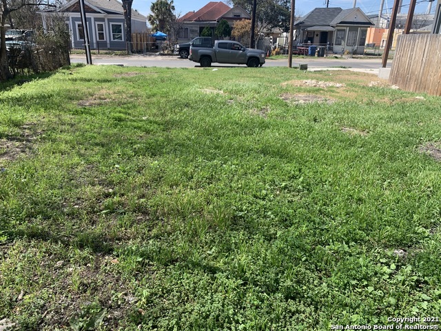
606 Olive St S
Featured Listing
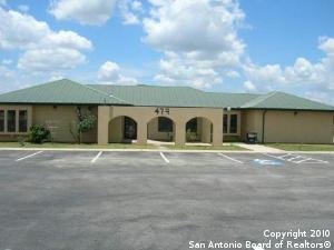
479 Tx-1604-loop W S
Featured Listing
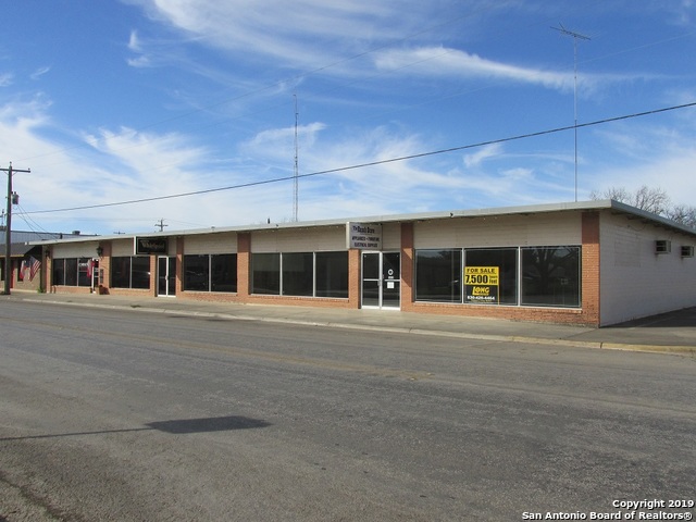
1602 Avenue M
Listing Data ©2026 San Antonio Board of REALTORS®
The information provided by this website is for the personal, non-commercial use of consumers and may not be used for any purpose other than to identify prospective properties consumers may be interested in purchasing.Display of MLS data is usually deemed reliable but is NOT guaranteed accurate.
Datafeed Last updated on January 13, 2026 @ 12:00 am
©2006-2026 brokerIDXsites.com - https://brokerIDXsites.com
Sign Up Now for Free!X
Call Direct: Brokerage Office: Mobile: 210.859.3251
Registration Benefits:
- New Listings & Price Reduction Updates sent directly to your email
- Create Your Own Property Search saved for your return visit.
- "Like" Listings and Create a Favorites List
* NOTICE: By creating your free profile, you authorize us to send you periodic emails about new listings that match your saved searches and related real estate information.If you provide your telephone number, you are giving us permission to call you in response to this request, even if this phone number is in the State and/or National Do Not Call Registry.
Already have an account? Login to your account.
